Bryce Canyon National Park was the fifth stop on our One Way Road Trip. We had this crazy idea to visit Zion National Park (literally across the highway) in the same day! So we were up at dawn to attempt both. Disclaimer: we realized this fast-paced trip eliminated any deep dives into the wilderness, but it did give us an opportunity to see many, many landscapes and decide which ones to which we would return. Spoiler alert: we want to return to them all!
Bryce is a very accessible park. It’s on the small-size for most and the park road is an out-and-back. UPDATE: the park service now offers a shuttle around the Bryce Amphitheater! We love these shuttles as it is super convenient & educational and is good for the park by decreasing congestion, emissions & animal-jams!
NPS map of Bryce Canyon
By arriving early in the morning, we not only arrived before the crowd but the rising sun allowed for breathtaking colors and shadows on the aptly named Rainbow Point.
Rainbow Point
Since all of the scenic pull-outs are on the NW side of the park, working our way from the “back” of the park to the front also allowed us to leap-frog the constant pull-outs of everyone traveling in the same direction.
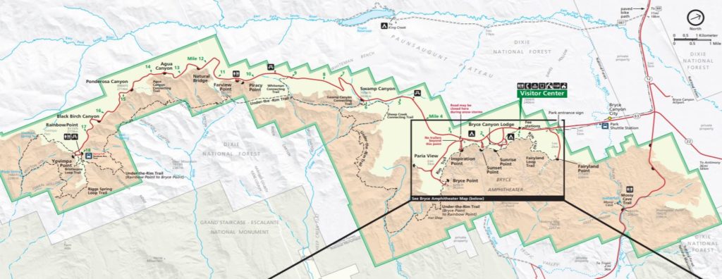
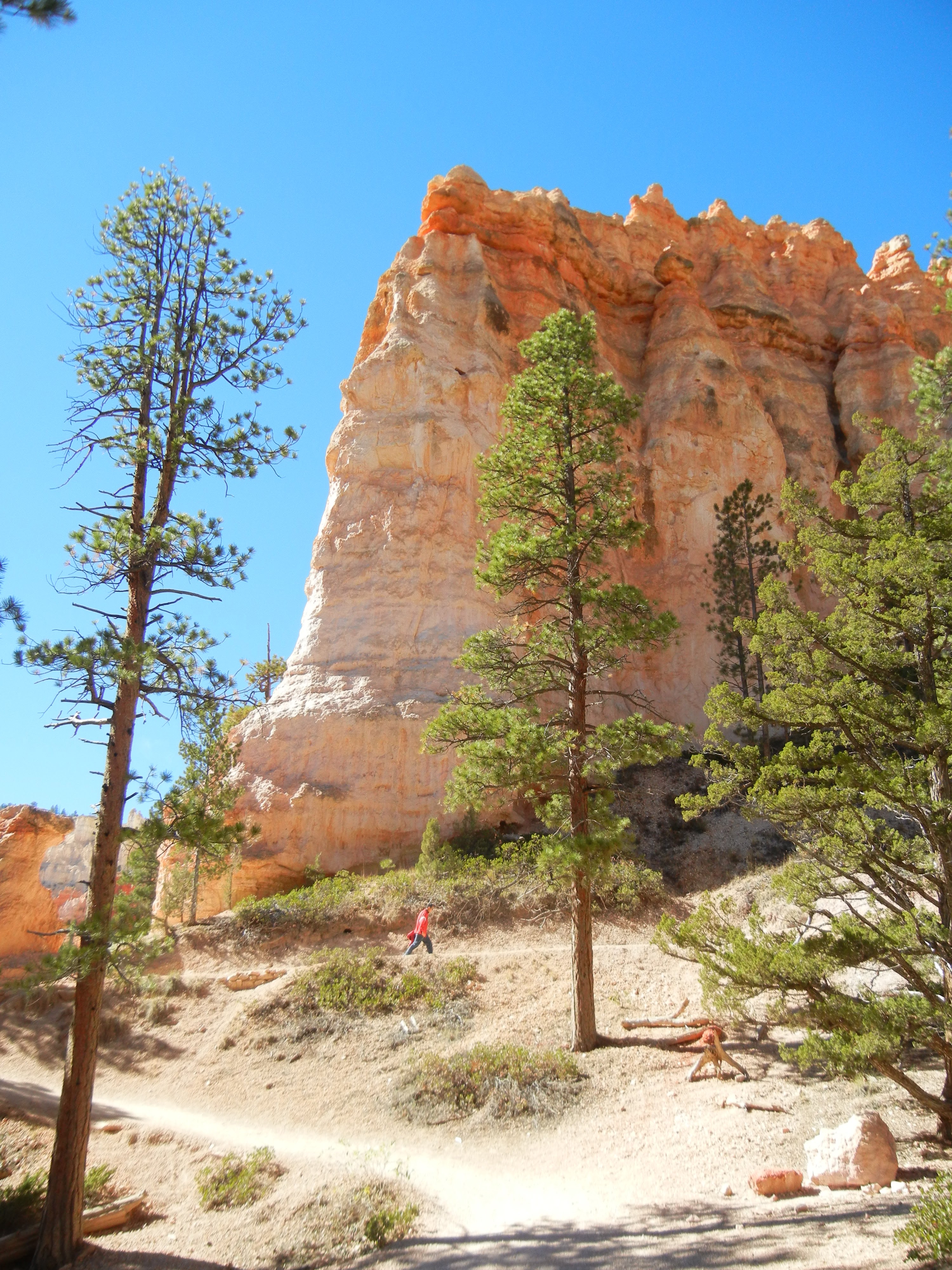
Bryce has the greatest concentration of hoodoo’s in the world! These are tall, thin spires of rock that protrude from the bottom of an arid drainage basin. They typically consist of relatively soft rock topped by harder, less easily eroded stone that protects each column from the elements but allows for some evocative shapes that, as you might imagine, engage the imagination of young and old alike.
Ponderosa Point
Natural Bridge
It is also a place of great color and contrast. Even in noonday sun, there are so many cracks and crevices that shadows dance amidst rocks that have been faulting, uplifting and eroding for the past millennia.
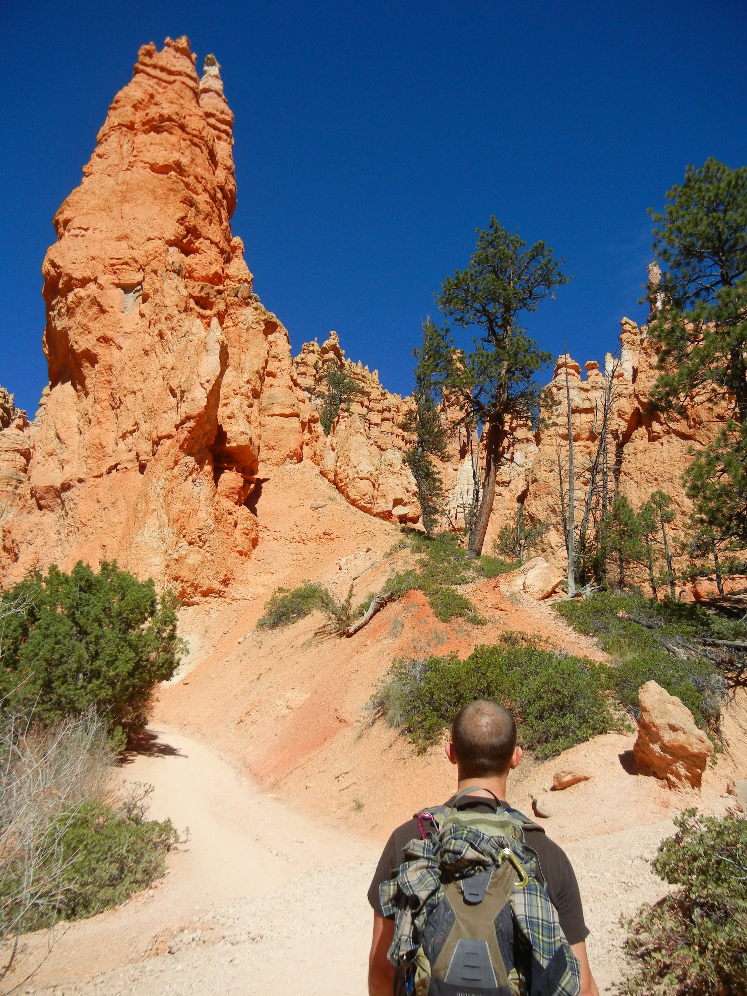
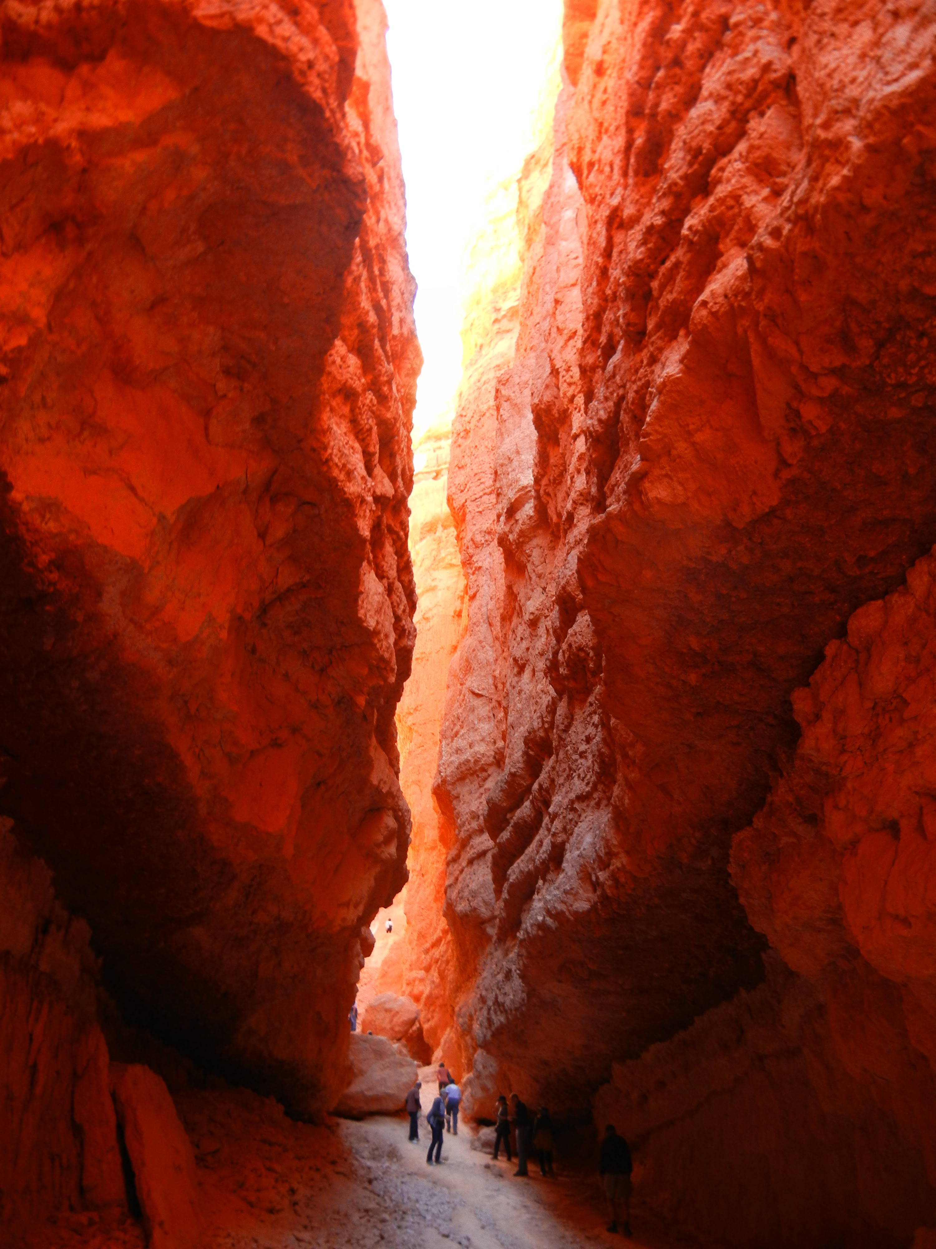
The best way to experience these magnificent forms is to get up close and personal: take a hike! We only had the time to do one but we made it a good one (and one of our favorites to this day): Queen’s/Navajo Combination Loop, 2.9 miles, 300 ft elevation. Moving clockwise from Sunrise to Sunset point (easy to remember, eh?) you’ll see Queen Victoria Hoodoo, Thor’s Hammer, Two Bridges and have a seriously momentous experience through Wall Street.