The National Park Service calls Glacier the “Crown of the Continent” and this is not an understatement. We actually had three whole days to explore, which is much more than our average, so we were excited to get off the heavily traveled roads and hit some serious trails! We would complete one of my top-5-lifetime-hikes in Glacier (though this changes every time we visit a new Park, hiking to Grinnell Glacier will always be epic).
Yes, the continental US actually has Glaciers!! We generally think of Canada and Alaska hogging the glacial glory, but Washington, Oregon, Idaho, Wyoming, Montana, California and even Nevada all have glaciers. But act fast! when the Park was designated in 1910, it had over 100 glaciers and today has less than 25.
So what is a glacier anyways? Glaciers begin their lives as snowflakes before being compressed into ice. Gravity then pulls these masses of ice, rock and sediment downhill. As a Michigander, we learned in grade school about how our state and the Great Lakes were formed by glaciers a million years ago. Considered a sort of “endangered” geological species, I was pumped to experience one up close, for the first time.
Kalispell was our jumping off point, who can say no to a free stay at a cozy cabin on a lake?! (thanks Marrs!). It was almost 600 miles from Portland, so we were ready embrace cabin life. This is also where my love for knotty pine decor really blossomed.
DAY ONE
We entered at the West Entrance and took the first left onto a gravel road. We knew this was going to be a great morning as dirt/gravel usually means less crowds and a quieter experience.
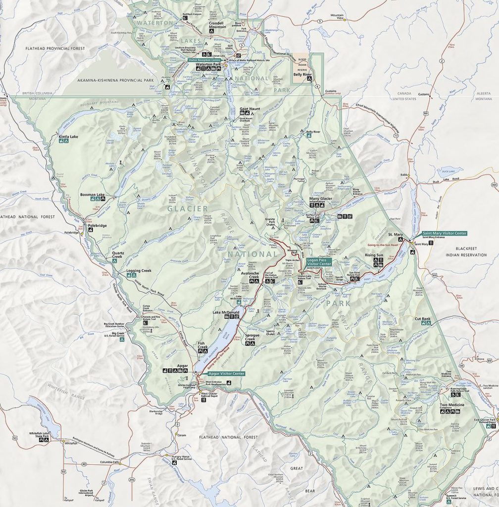
NPS map of Glacier
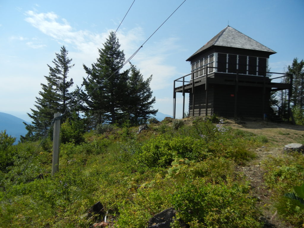
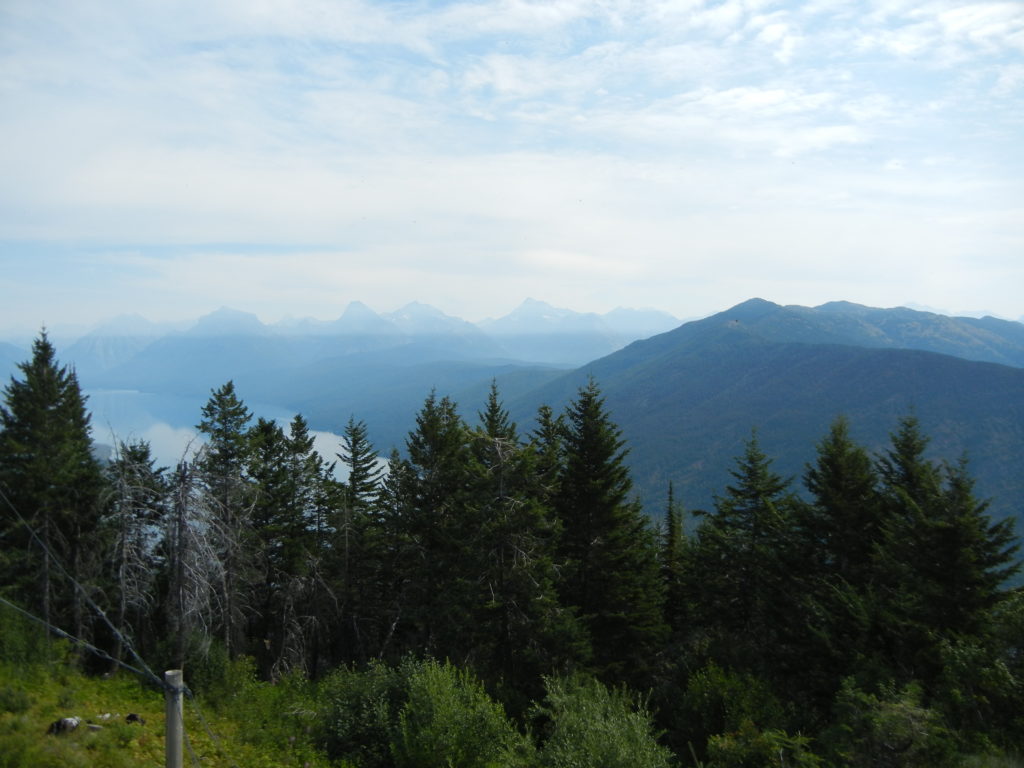
Just a short jaunt north on Camas Road led to Huckleberry Lookout trailhead. The 11 mile roundtrip out-and-back climbs 3,400 ft to the top of Huckleberry Mountain to a fire lookout and fantastic views of the Livingston Range. This trail is considered strenuous but a great challenge after a full day on the road.
It also introduced us to “Grizzly Country”. Bear safety is paramount in Glacier as the park is home to one of the largest remaining grizzly bear populations in the lower 48.
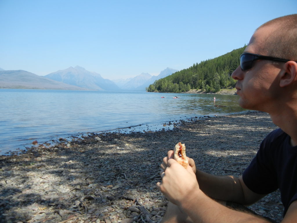
Lake McDonald provided a perfect late-lunch spot after we developed quite the appetite with that hike! We found a quiet picnic area at Sprague Creek Campground and enjoyed the serenity of this large lake (10 miles long!) tucked in the “u-shaped” valley surrounded by the high peaks of Howe Ridge.
We ended our day at Lake McDonald Lodge/Village. It would remind a Michigander of Frankenmuth: a charming little Bavaria. I didn’t take pictures as this was the most people we’d seen all day and it was also the most touristy. But a great spot to get a coffee or ice cream, depending on your time of year.
DAY TWO
We were up early today as our goal was Grinnell Glacier, for which we had to cross the entire park and then re-enter at Many Glacier. It did give us a preview of the famous “Going-to-the-Sun road.” I often like criss-crossing a park like this. While it might not be the most efficient, the parks change by the hour with different light, different weather and different moods I just can’t get enough.
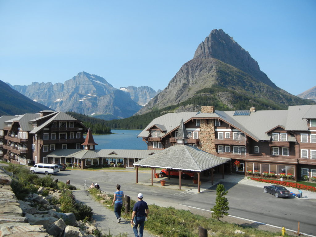
The trailhead to Grinnell Glacier is the parking lot “above” Many Glacier Hotel. If I were to stay in any lodge in Glacier, it would be here. More classic “alpine” architecture with a supremely dramatic backdrop. Red geraniums were in bloom and beckoned a quick peek inside.
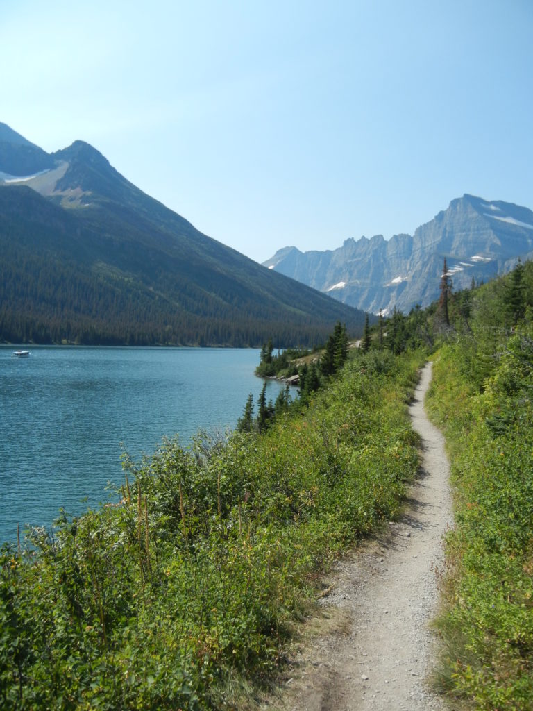
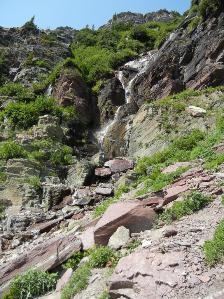
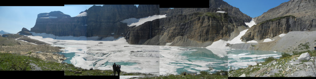
Grinnell Glacier trail is strenuous and not for the faint of heart. Just shy of 8 miles round trip and 1,840ft elevation gain. The path along Lake Josephine is fairly flat and mellow through meadows of wildflowers (and maybe more than a few bugs) but the trail quickly changes to stairs, switchbacks and no guardrails (parks, you constantly challenge my fear of heights!). But as are most great challenges, the reward is great.
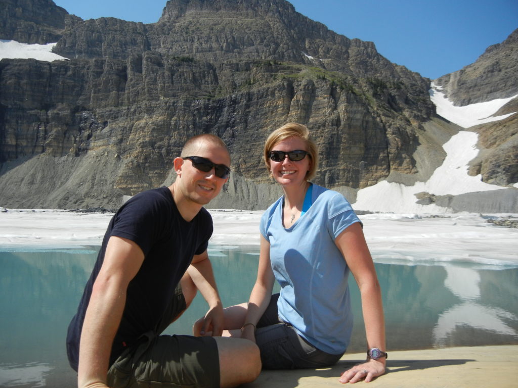
At the glacier viewpoint, you’ll enjoy commanding views of the 152-acre glacier, upper Grinnell Lake, the Garden Wall and Mount Gould. Take a moment to dip your toes in the freezing glacial lake. So cold it hurts! We caught our breath, took it all in and prepared for the descent.
Going down is full of excitement from the achievement of going up and the sweeping views of the mountains, lakes and meadows below. We would have loved to savor the return trip but we literally ran down upon hearing folks talk about an impending thunderstorm. Nope! Don’t want to be on top of a mountain for that! Got back to the Kia just in time and enjoyed a PB&J with the sound of rain on the roof and a glacial impression on our hearts.
DAY THREE
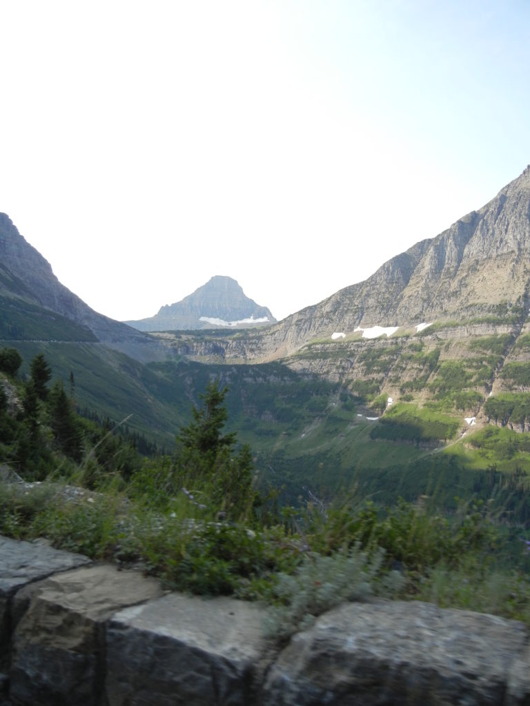
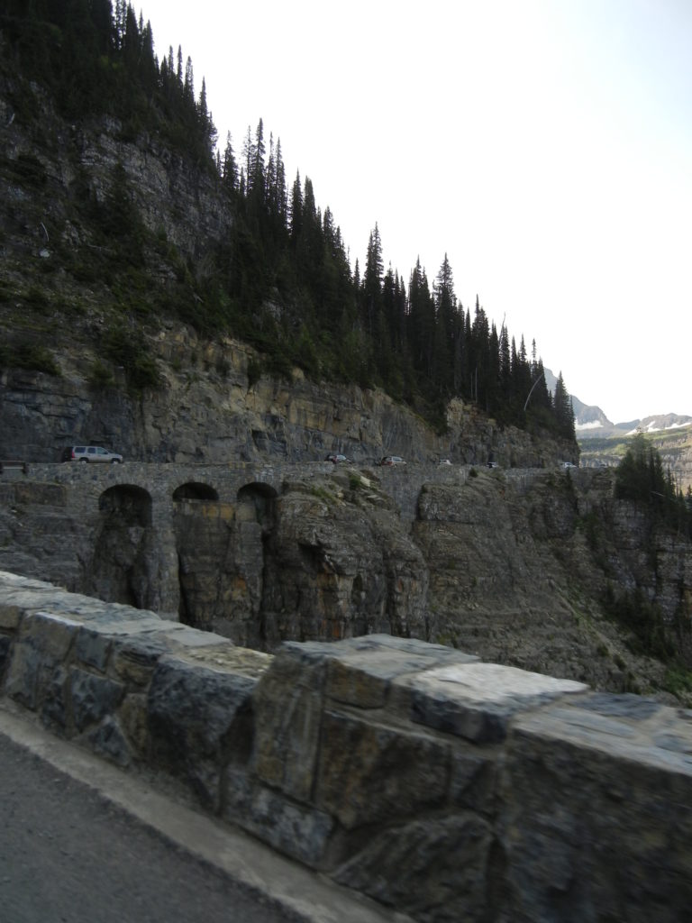
We decided to take it a little easier and enjoy the drive of Going-to-the-sun road. Portions of the road remain open all year but the opening/closing of the alpine portions are weather dependent. Typically, the road is open from late June until the third Monday of October. To drive the entire 50-miles one-way will generally take 2 hours. Also check out NPS.gov for vehicle restrictions.
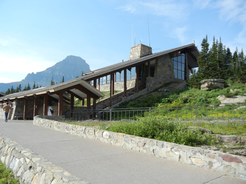
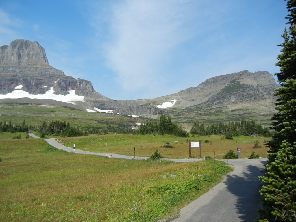
Calling this a “scenic drive” would be an understatement. There was a lot to absorb through the windshield. Logan Pass is the highest point of the drive and also along the Continental Divide, elevation 6,646 ft. The Hidden Lake Nature Trail leaves from the Visitor’s Center. We walked part of the paved trail just to enjoy the alpine meadow and sunshine.
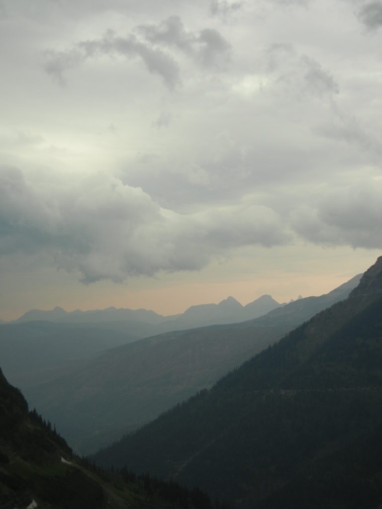
Our farewell to Glacier came just as clouds were rolling in. Equally terrifying and beautiful. A dramatic exit out of a dramatic park.