Canyonlands

NATIONAL PARK

Canyonlands National Park selfie

By DIENEKE

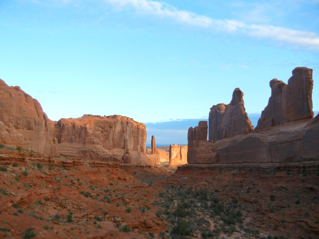
Canyonlands National Park was the eighth and final park on our One Way Road Trip. Coming to our final park was bitter sweet.  We had seen so much in the past 2 weeks our minds were still digesting while our souls were begging for more.  Luckily, we’d have several more days of driving before reaching Michigan, which included a stop in Nebraska to visit very good friends with whom we could download this epic experience.

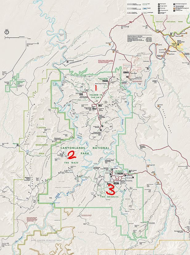
Canyonlands has 3 distinct districts: Island in the Sky, the Needles, the Maze and then of course there is the Colorado River itself and all of its tributaries.  We chose Island in the Sky as it is the closest to Arches and we could easily hop back onto I-70 and towards the Heartland.

Canyonlands National Park Map
NPS map of Canyonlands
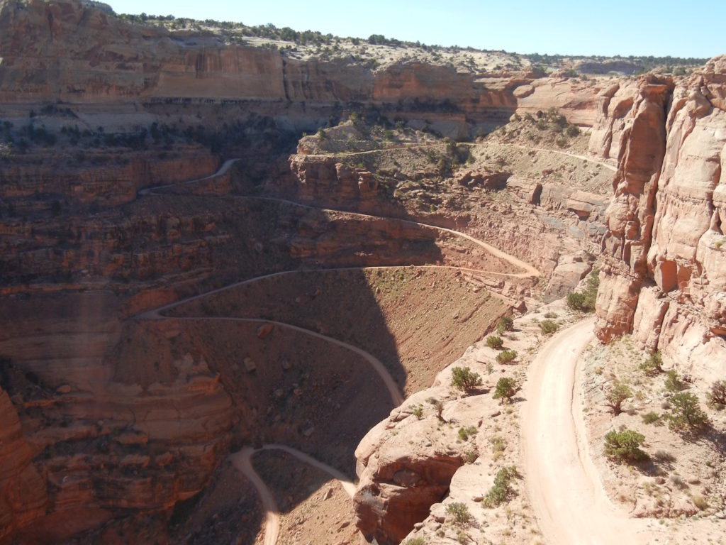
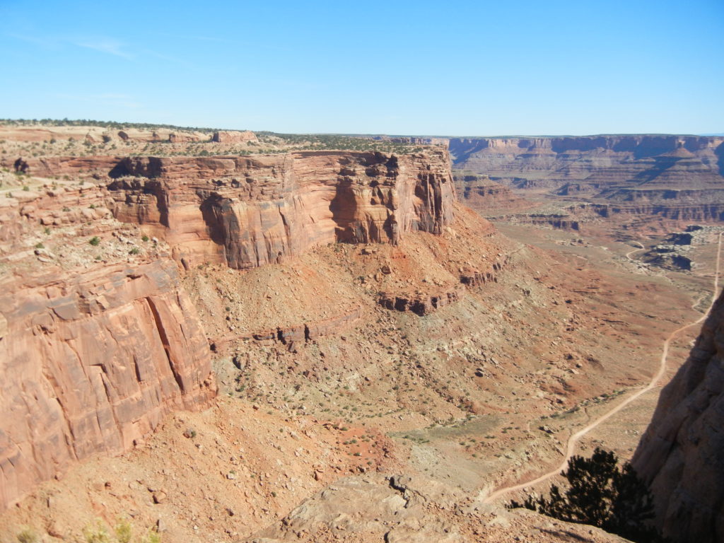
We were immediately met with an expansive view at the Shafer Canyon Overlook and a curious path just begging for exploration called the White Rim Road.  We researched this extensively after our trip and to use the term “road” is generous.  Only four-wheel-drive vehicles, motorbikes and bicycles are allowed, requiring extreme caution along steep, exposed sections and switchbacks.  A bit intimidating for me but quite tempting for Brandon.  100 mile loop of adventure may be in his future.
Canyonlands National Park_Shafer Canyon Overlook
Shafer Canyon Overlook
Canyonlands National Park_White Rim Road
White Rim Road

There’s quite a lot of driving in this district and great, but quite long, trails, so we kept to pull-outs and short hikes since we only had one day.  

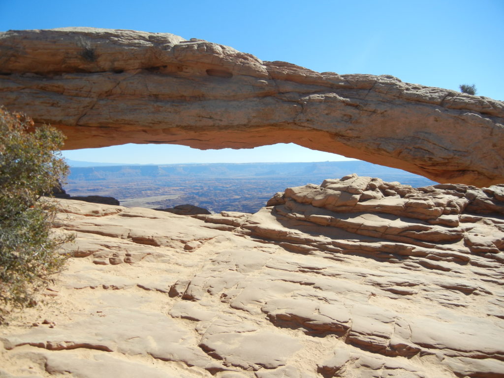
Mesa Arch was a definite stop with a short loop hike.  While we had already seen some spectacular arches at Bryce and Arches, this afforded the most spectacular view through the arch: the White Rim Road and Buck Canyon.
Canyonlands National Park_Mesa Arch
Mesa Arch, view also on cover image at top of page
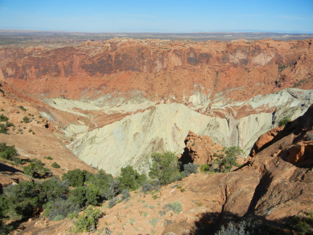
We headed right at the fork towards Upheaval Dome.  This moderate hike lead us on gravel and  hard rock to two overlooks.  The first is 2 miles round-trip, the second adds an extra mile.  This area of approximately 3 miles across was dramatically deformed where rocks in the center were pushed upwards into a dome.  What was the cause?  My favorite answer: we don’t know for sure!
Canyonlands National Park_Upheaval Dome
Upheaval Dome
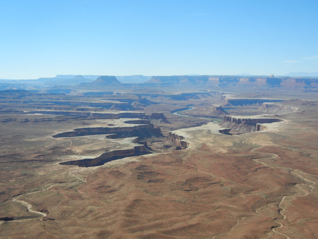
Turning back to the fork led us to Green River Overlook affording a phenomenal view of the Green River, hard at work, carving it’s way through the red rock.
Canyonlands National Park_Green River Overlook
Green River Overlook
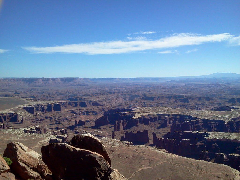
One thing I love about navigating through the National Parks are the names.  They have never led me astray: Panorama, Great, Grand, View, Overlook, Point, etc., thus we purposefully saved Grand View Point Overlook for last.  We lingered here for quite a while, soaking up the view and imprinting this moment on our minds.
Canyonlands National Park_Grand View Point Overlook
Grand View Point Overlook
While this was a whirlwind of a journey, it gave us an incredible sense of oneness with our beautiful country.  It further strengthened our desire to treasure it, explore it and protect it.